Photos
Contributed by Mark Lettow of Roland, Iowa
Click on thumbnail image to view a larger picture - Larger pictures may
take a short while to load. |
|
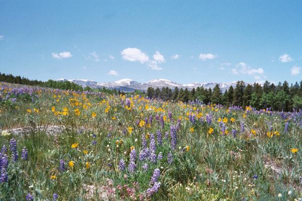
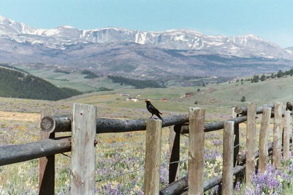
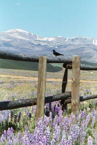
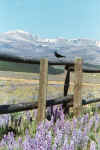
Spring
wildflowers along U.S. Highway 16 west of Buffalo |
 |
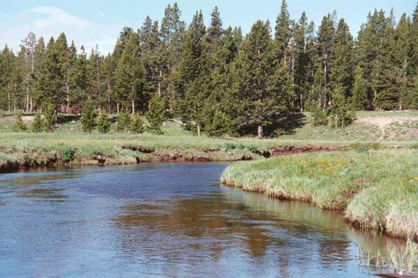
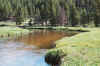
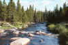
South
Tongue River near Tie Flume Campground |
|
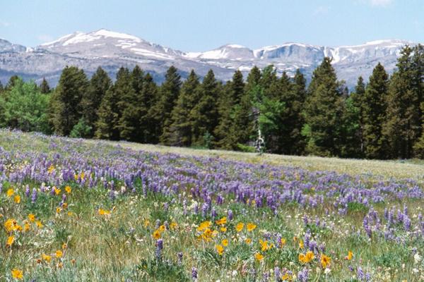
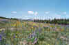
Spring
wildflowers along U.S. Highway 16 west of Buffalo |
 |
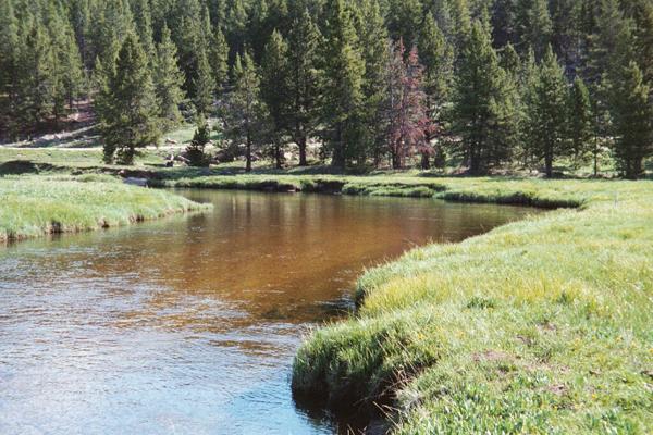
South
Tongue River near Tie Flume Campground |
|
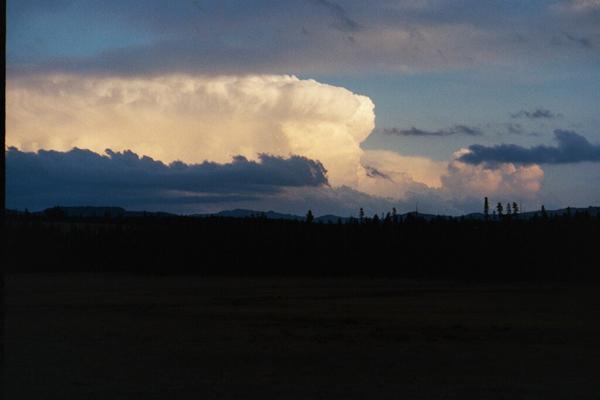
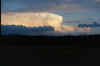
Taken
south of Burgess Junction along the South Tongue River. "I believe it is the same
storm that created the flood in Kaycee last summer." |
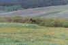 |
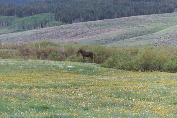
Moose
along the North Tongue River |
|
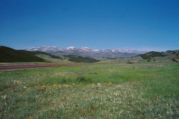
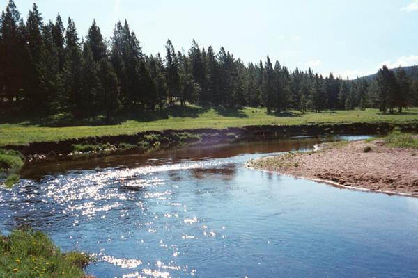
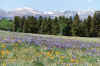
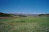
U.S.
Highway 16 west of Buffalo and the Bighorn Mountains |
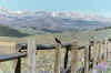 |
Along
U.S. Highway 16 west of Buffalo |
|
South
Tongue River near Tie Flume Campground |
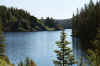 |
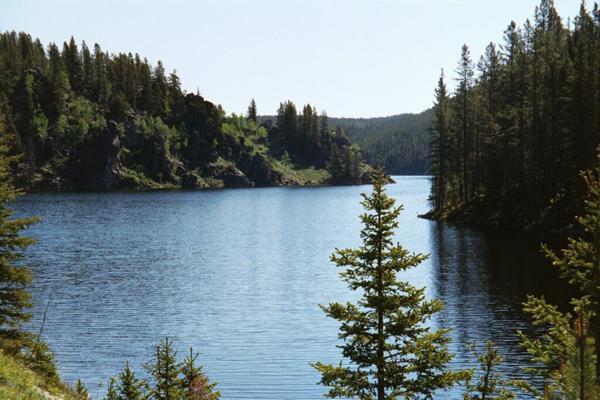
Tie
Hack Reservoir west of Buffalo |
|
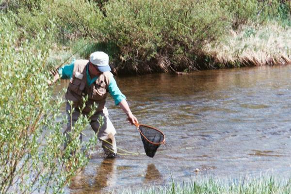
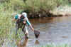
Trout
fishing in Tensleep Creek |
 |
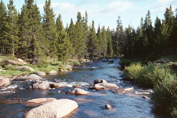
South
Tongue River near Tie Flume Campground |
|
U.S.
Highway 16 west of Buffalo and the Bighorn Mountains |
Many thanks to Mark for
contributing these great photos! |